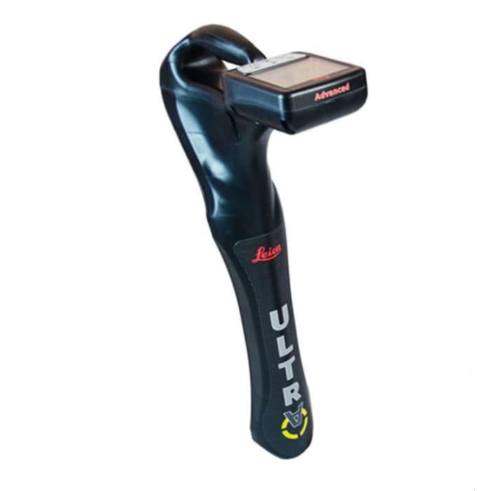

Leica ULTRA Utility Detection and Tracing System
Integrating intelligent signal processing with unique flexible operating modes, Leica ULTRA System locates buried utility lines accurately for safe underground excavations and utility surveys.
MME Shopping Event
Hurry and get discounts on Most of MME Products up to 20%
Call for Price
Leica ULTRA Utility Detection and Tracing System
Existing underground infrastructure networks can be complicated. Complex pipe and cable routes are continually expanding on a global scale and it has never been more important to obtain precise information about their positions. Protecting existing assets or planning for future installations, demands accurate reliable information.
Integrating intelligent signal processing with unique flexible operating modes, Leica ULTRA System locates buried utility lines accurately for safe underground excavations and utility surveys. Outstanding performance with operational ease and flexibility.
Leica ULTRA Utility Detection and Tracing System Specifications:
- Dimension: 691 x 325 x 122 mm (27.2 x 12.8 x 4.75 in)
- Weight (including batteries): 2.2 kg (4.8 lb)
- Frequency range: 50 Hz – 200 kHz
- Sensitivity 33 kHz (1 μA at 1 m)
- Dynamic range 117 dB
- Depth, max 6 m (20 ft)
- Locate accuracy ±5% depth
- Dynamic overload protection 30 dB (automatic)
You must be logged in to post a review.
Brand
Leica
Leica
Leica Geosystems creates complete solutions for professionals around the world. Revolutionising the world of measurement and survey for 200 years, Leica Geosystems, part of Hexagon, creates complete solutions for professionals across the planet. Known for premium products and innovative solution development, professionals in a diverse mix of industries, such as aerospace and defence, safety and security, construction, and manufacturing, trust Leica Geosystems for all their geospatial needs. With precise and accurate instruments, sophisticated software, and trusted services, Leica Geosystems delivers value every day to those shaping the future of our world.

 Specifications
Related Products
FLUKE Ti480 60Hz PRO Infrared Camera
In stock
Testo 890 FeverDetection Kit Thermal Imager X7
In stock
Testo 871 Building Diagnosis Kit-Bluetooth Probe 605i
In stock
Testo 868 Thermal Imager (160 x 120 Pixels, App)
In stock
FLUKE PTi120 Compact Thermal Camera
In stock


Reviews
Clear filtersThere are no reviews yet.