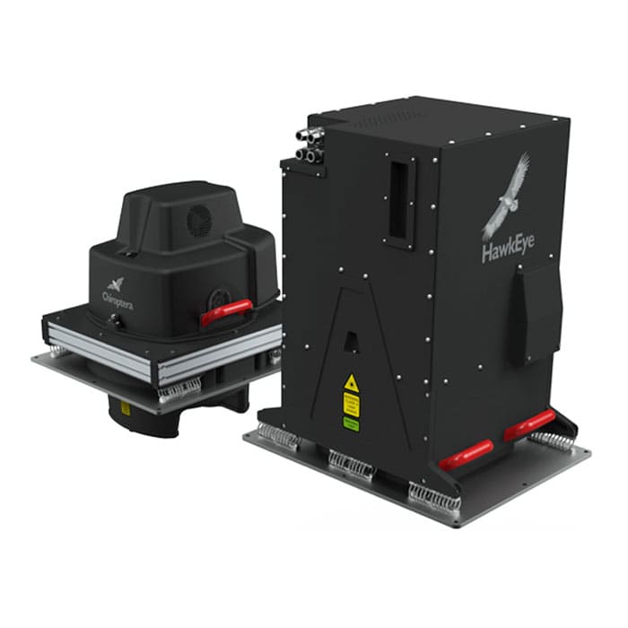

Leica HawkEye 4X Deep Bathymetric LiDAR Sensor
The Leica HawkEye 4X offers unrivalled bathymetric point density and water penetration down to 50 m depth at the same accuracy, same turbid water performance and with increased sensitivity, offering a productivity gain of >50%.
MME Shopping Event
Hurry and get discounts on Most of MME Products up to 20%
Call for Price
Leica HawkEye 4X Deep Bathymetric LiDAR Sensor
With the 4X bathymetric product line, Leica Geosystems introduces innovative, high-resolution technology that increases point density by a factor of 4 compared to previous versions. The Leica HawkEye 4X provides unmatched bathymetric point density and water penetration to depths of 50 m with the same accuracy, performance in turbid water, and increased sensitivity, resulting in a productivity gain of > 50%.
- 40,000 points per second deep bathymetric channel acquire accuracy and data density in deep water surveying down to 50 meters depth
- 140,000 points per second shallow bathymetric channel optimize coastal mapping and shallow water surveys down to 25 meters depth
- 500,000 points per second topographic channel collect the required detail and resolution for your topographic LiDAR application
Leica HawkEye 4X Deep Bathymetric LiDAR Sensor Specifications:
- Power consumption: 2 x 50A @ 28 V DC
- Storage temperature: -10 °C to +50 °C
- Operation temperature: 0 °C to +35 °C
- Storage capacity: > 1 sortie recording in ruggedized removable SSD
1 review for Leica HawkEye 4X Deep Bathymetric LiDAR Sensor
Clear filtersYou must be logged in to post a review.
Brand
Leica
Leica
Leica Geosystems creates complete solutions for professionals around the world. Revolutionising the world of measurement and survey for 200 years, Leica Geosystems, part of Hexagon, creates complete solutions for professionals across the planet. Known for premium products and innovative solution development, professionals in a diverse mix of industries, such as aerospace and defence, safety and security, construction, and manufacturing, trust Leica Geosystems for all their geospatial needs. With precise and accurate instruments, sophisticated software, and trusted services, Leica Geosystems delivers value every day to those shaping the future of our world.


frank shaw –
good product